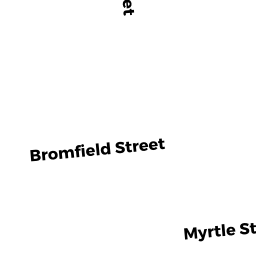
115-117 MYRTLE ST
Owner Information
GOMEZ FRANLEL SANTOS
115 - 117 MYRTLE ST
LAWRENCE, MA 01841


Property Details
115-117 MYRTLE ST is classified as a Apartments with Four to Eight Units (Family flat).
The primary structure on this property was built in 1910. There are 5,840ft2 of built area within this property. There is 3,950ft2 of residential/living space within this property. This property is listed as having 22 rooms.
115-117 MYRTLE ST is valued at $440,600. The land is valued at $106,500 and the structures are valued at $334,100.
This property is in Zone R-3. Confirm with local Zoning Board authorities to ensure there are no overlays or other easements on this property.
The most recent deed for 115-117 MYRTLE ST is recorded at the local registrar in Book 15689, Page 257. 115-117 MYRTLE ST was last sold on Monday, November 26, 2018 for $435,000.
Assessment data from fiscal year 2022.
Flood Data
This property is completely within the AE Zone (within floodplain).
This information is sourced from the FEMA National Flood Hazard Layer. See our full disclamer.
Broadband Internet Providers
| Provider | Type | Bandwidth (mbps) | |
|---|---|---|---|
| Verizon New England Inc. | DSL | 7 | 0 |
| VSAT Systems, LLC. | Satellite | 2 | 1 |
| Viasat Inc | Satellite | 100 | 3 |
| HughesNet | Satellite | 25 | 3 |
| GCI Communication Corp. | Satellite | 0 | 0 |
| Comcast | Cable | 1000 | 35 |
| Verizon New England Inc. | Fiber | 940 | 880 |
Broadband service provider data from December 2020.
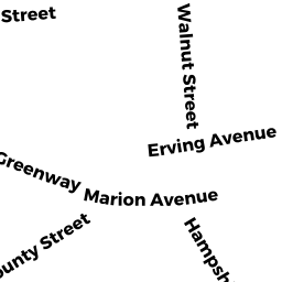
Adjacent Properties
- 51 - 53 WALNUT ST
Three-Family Residential owned by GONZALEZ ANA E - 49 WALNUT ST
Tanks Holding Fuel and Oil Products for Retail Distribution, either Above Ground or Underground owned by DIFO JISELL - WALNUT ST
Vacant, Selectmen or City Council (Municipal) owned by LAWRENCE CITY OF - 121 - 123 MYRTLE ST
Auto Repair Facilities owned by DIFO WILL JR - 109 - 113 MYRTLE ST
Three-Family Residential owned by HERNANDEZ RAYMOND A J/T - 86 BROMFIELD ST
Two-Family Residential owned by MARTINEZ ALFREDO